


les rousses à prémanon et retour

vienne14400
User
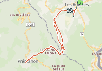

Length
11.9 km

Max alt
1136 m

Uphill gradient
315 m
Km-Effort
16.1 km

Min alt
1011 m

Downhill gradient
295 m
Boucle
No
Creation date :
2022-02-10 09:42:00.002
Updated on :
2022-02-10 14:19:15.845
2h57
Difficulty : Difficult

FREE GPS app for hiking
 SityTrail
IGN / Geographical institutes
SityTrail Plus
The world is yours!
About
Trail Walking of 11.9 km to be discovered at Bourgogne-Franche-Comté, Jura, Les Rousses. This trail is proposed by vienne14400.
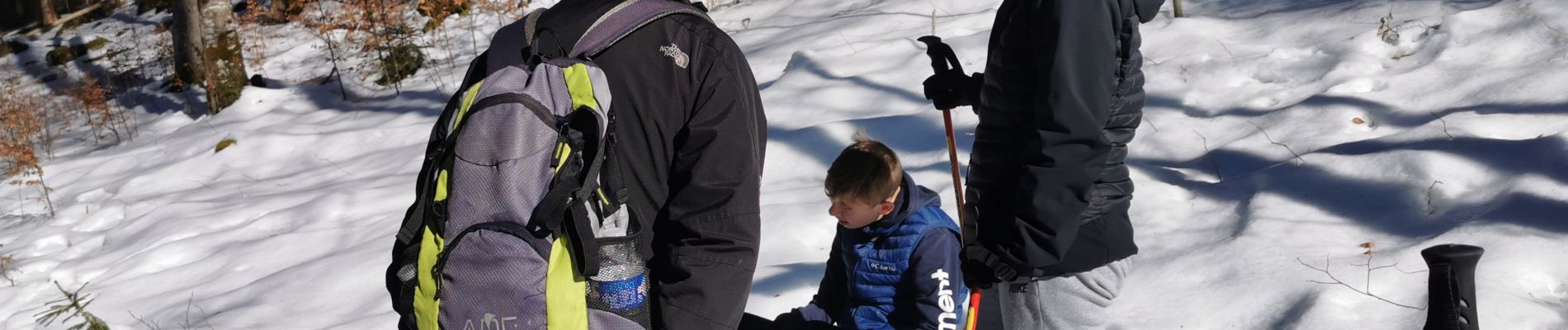
Photos


Positioning
Country:
France
Region :
Bourgogne-Franche-Comté
Department/Province :
Jura
Municipality :
Les Rousses
Location:
Unknown
Start:(Dec)
Start:(UTM)
274355 ; 5151989 (32T) N.
Comments